


Great Lakes connections
On a map, the St. Marys River looks like a calm passage connecting Lake Superior and Lake Huron. But at Sault Ste. Marie, the river is anything but calm. Instead, it drops twenty-one feet through the St. Marys Rapids before emptying into Lake Huron. Without the Soo Locks, this drop would make navigation between the two massive lakes impossible.

Experiencing this passage between the lakes seemed the right place to begin our Lake Superior Circle Tour.
Aboard a tour boat, we first entered the MacArthur Lock. There we watched the lock fill as we felt the water quietly lift us. The change was almost imperceptible at first. Water gathered beneath us as the walls seemed to sink. Gradually, our boat rose to meet the level of the lake beyond.
Later, after crossing into Canada, we returned through the Poe Lock. This time, the water slowly drained away lowering us to the level where we had started. It was an engineering marvel accomplished with surprising gentleness.
But it was the Burns Harbor freighter that demonstrated the sheer scale of these lakes.
According to our tour guide, the freighter was nearly a thousand feet long and eighty feet wide, a floating wall of steel passing through the lock with inches to spare. Yet even a vessel of that size was dwarfed by the vastness of the Great Lakes, especially Superior.
Seeing that colossal ship made it hard to imagine First Nations people and French-Canadian voyageurs venturing across these massive waterways in birch-bark canoes—mere specks against the immensity of the waters around them.
As I watched the Burns Harbor continue down the St. Marys River toward Lake Huron and cities beyond, I began to understand the scale of the journey ahead. Any body of water vast enough to engulf a ship like that was going to challenge everything I thought I knew about a lake, even this Superior lake.
Following the Northern Shore
Our journey would carry us north and west along only part of Lake Superior’s immense shoreline. The Lake Superior Circle Tour is a 1,300-mile loop through Minnesota, Wisconsin, Michigan, and Ontario. During my years living in Michigan, I visited many of the state’s stops along the route, from Pictured Rocks National Lakeshore to the Keweenaw Peninsula. In the 1980s, I crossed the lake for a week of hiking at Isle Royale National Park and later took my mother on Ontario’s Agawa Canyon Train Tour. Even so, the Canadian shore of Lake Superior was a landscape I’d yet to explore.
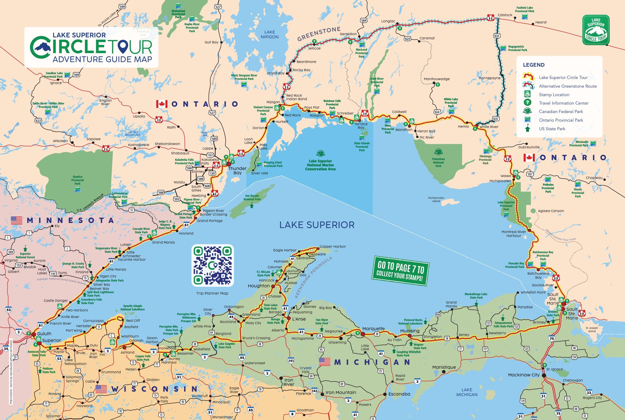
With Winnipeg as our eventual destination, my wife and I followed the Circle Tour from Sault Ste. Marie to Thunder Bay—a 434-mile stretch that gave us seven unhurried days to explore nearly a third of the entire route.
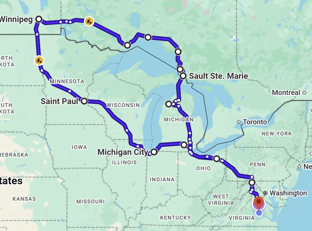
The moment we crossed into Canada, the tension of the long drive seemed to drain away, replaced by a quiet sense of anticipation for all that lay ahead.
Taking a breath at Batchawana Bay
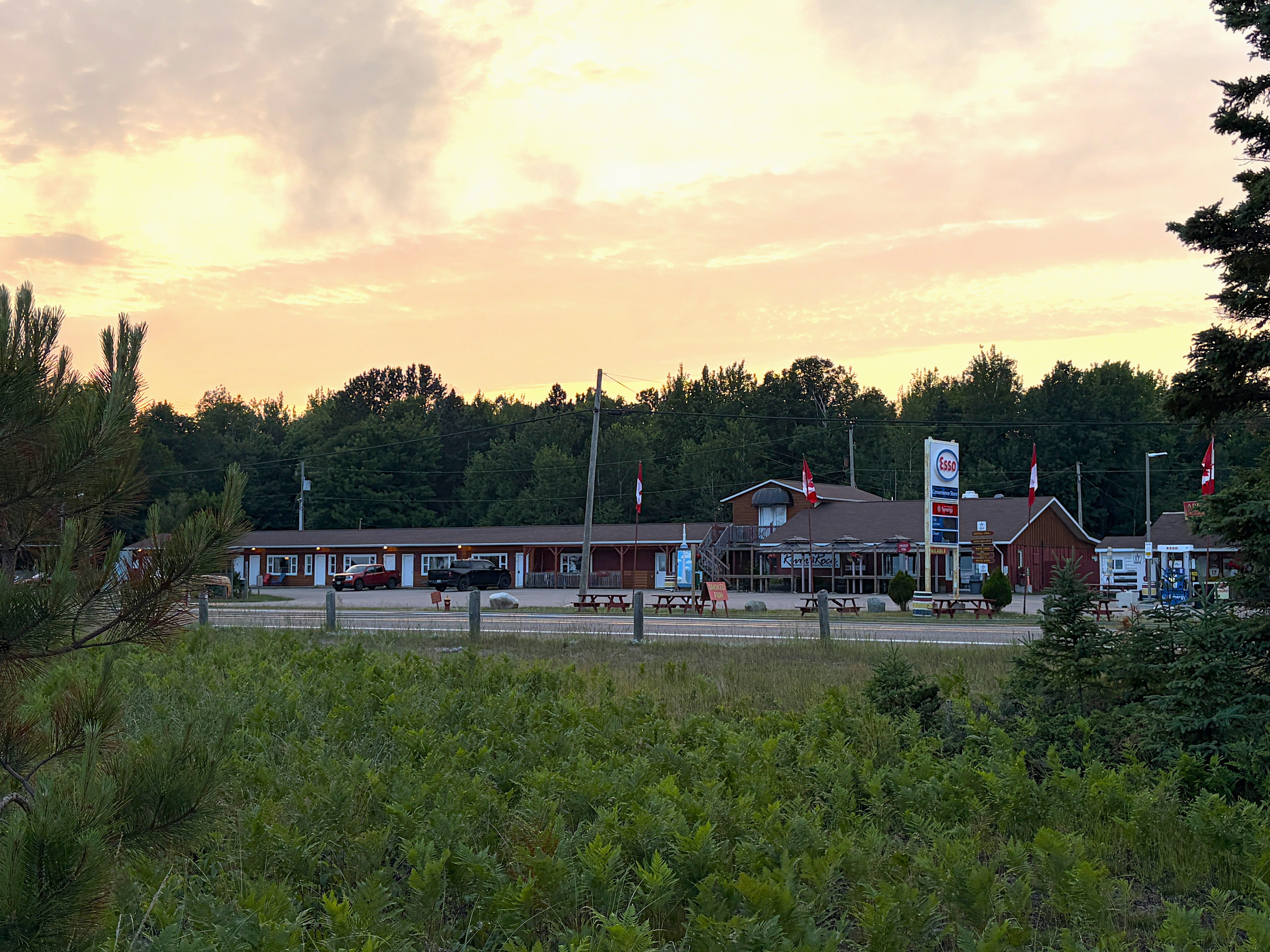
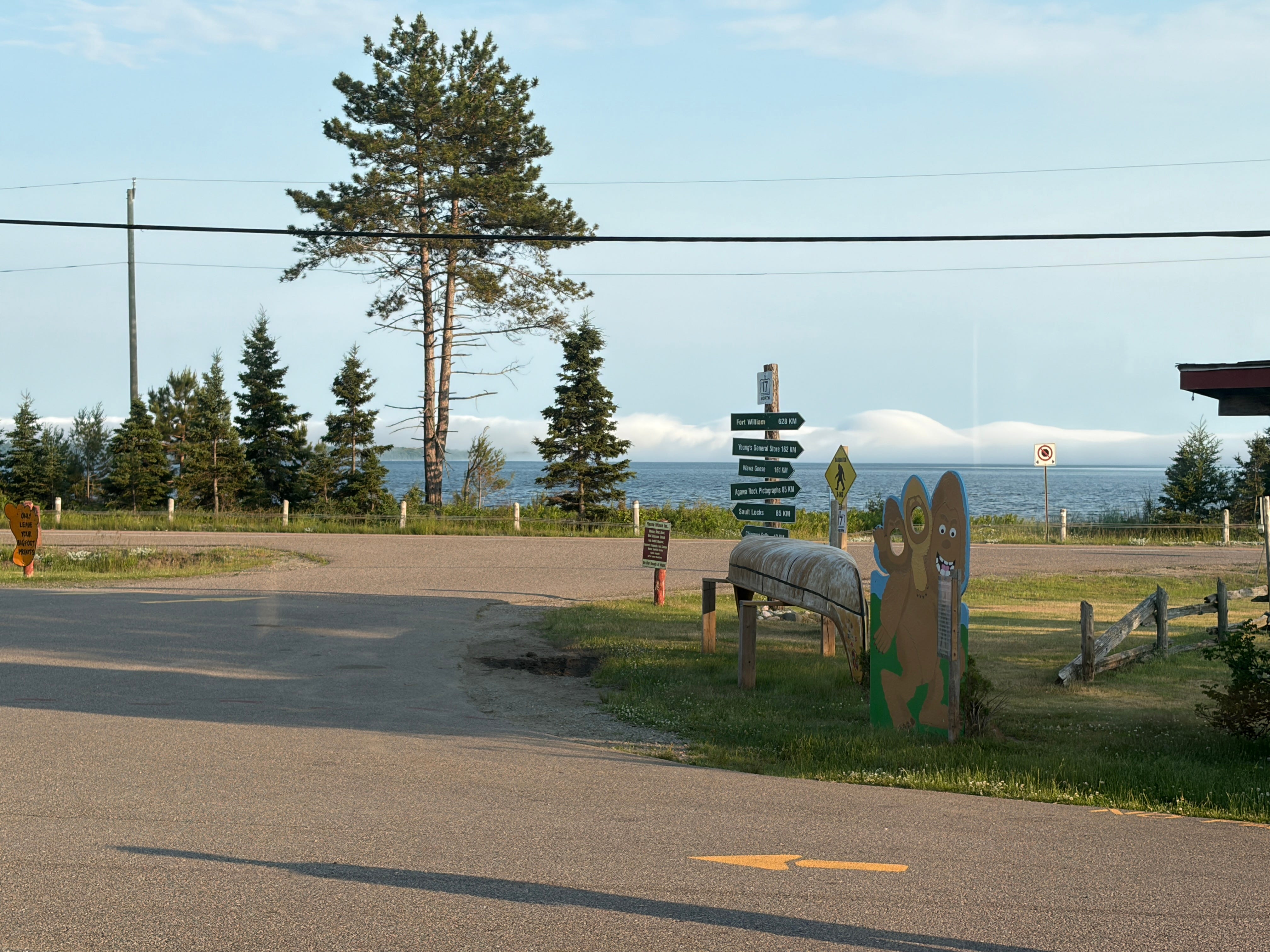
From our first stop at the Voyageurs Inn, a recently renovated 11-room motor lodge, we only had to gaze across the two-lane Trans-Canada Highway (Ontario Highway 17) onto Batchawana Bay to grasp the immensity of the lake we had come to experience.
Lake Superior is known for its unpredictable waters. Shipwrecks ranging from the Invincible, lost in 1816, to the Edmund Fitzgerald in 1975 helped earn the waters around Whitefish Bay their grim reputation as the “Graveyard of the Great Lakes.”
Years earlier, while crossing from Copper Harbor to Isle Royale National Park, I was unnerved to hear our ferry captain say he had never seen the lake so rough. We arrived safely (after emptying our stomachs along the way) and learned that later crossings had been canceled. Fortunately, the lake had a full week to settle before we had to take our chances on this wildly erratic lake to return to the mainland. For that, I was grateful.
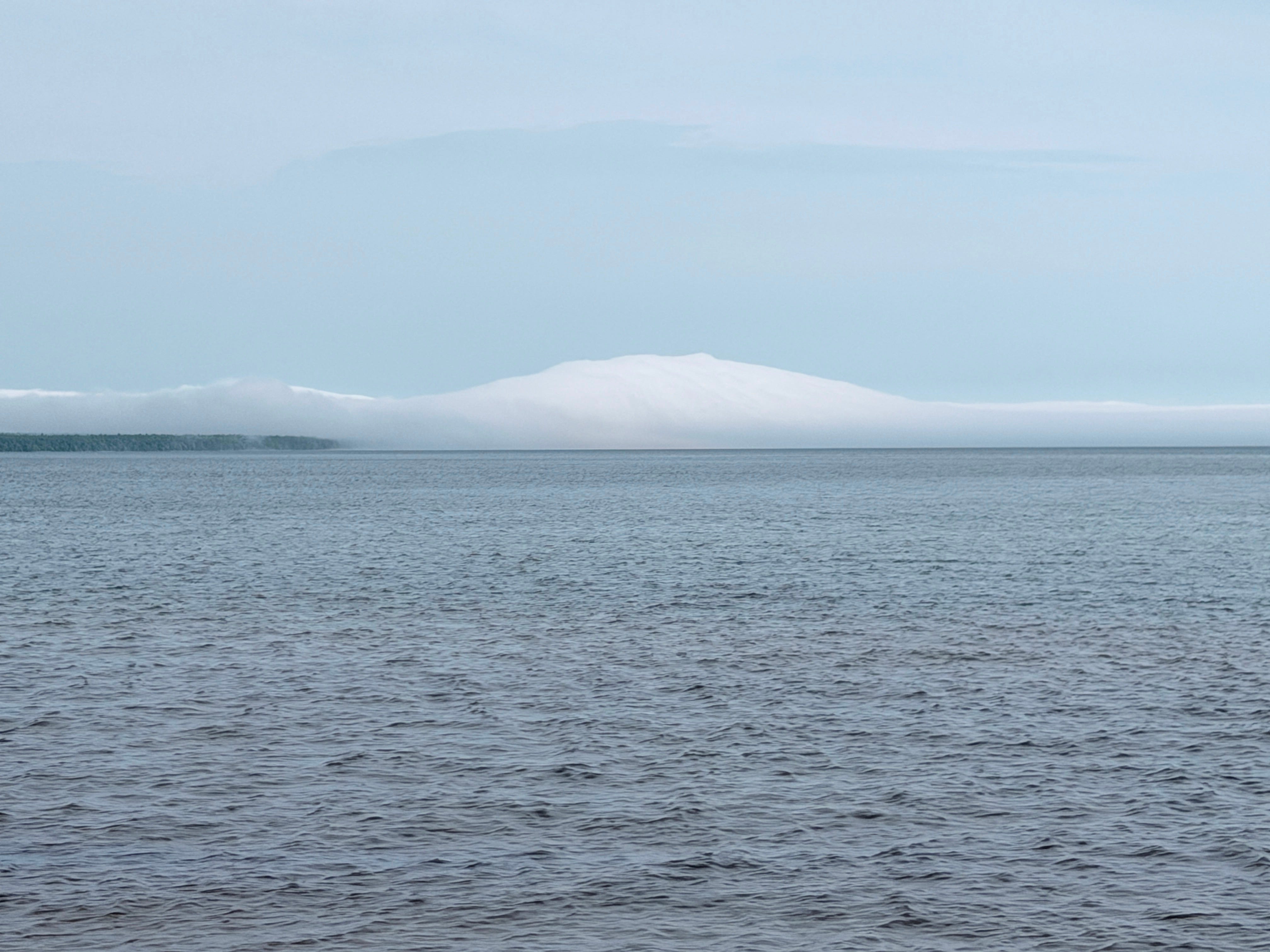
This was the image I held of Lake Superior—whitecaps, churning waters, and waves striking its rocky shores. When I saw the calm, smooth waters of Batchawana Bay, I found it hard to believe it was the same lake. The sky and water joined into one endless panorama. A cloud bank generated by the lake itself—a lake so large it creates its own weather—resembled a mountain range off in the distance.
As the lapping waters lulled us to sleep, I couldn’t wait for morning to begin our exploration in earnest. Before we could hit the road, though, we couldn’t resist indulging in one of the inn’s deservedly renowned homemade apple fritters with its sugary crust and gooey middle overflowing with baked apples and cinnamon.


Later that day, when we offered a second fritter to a group of provincial park service staff at a stop forty-five minutes north, one exclaimed, “Is that from Voyageurs?” When we replied in the affirmative, the group scarfed it up with both reverence and enthusiasm—its reputation clearly established with these young rangers.
Pancakes, an old woman, and a very big bird
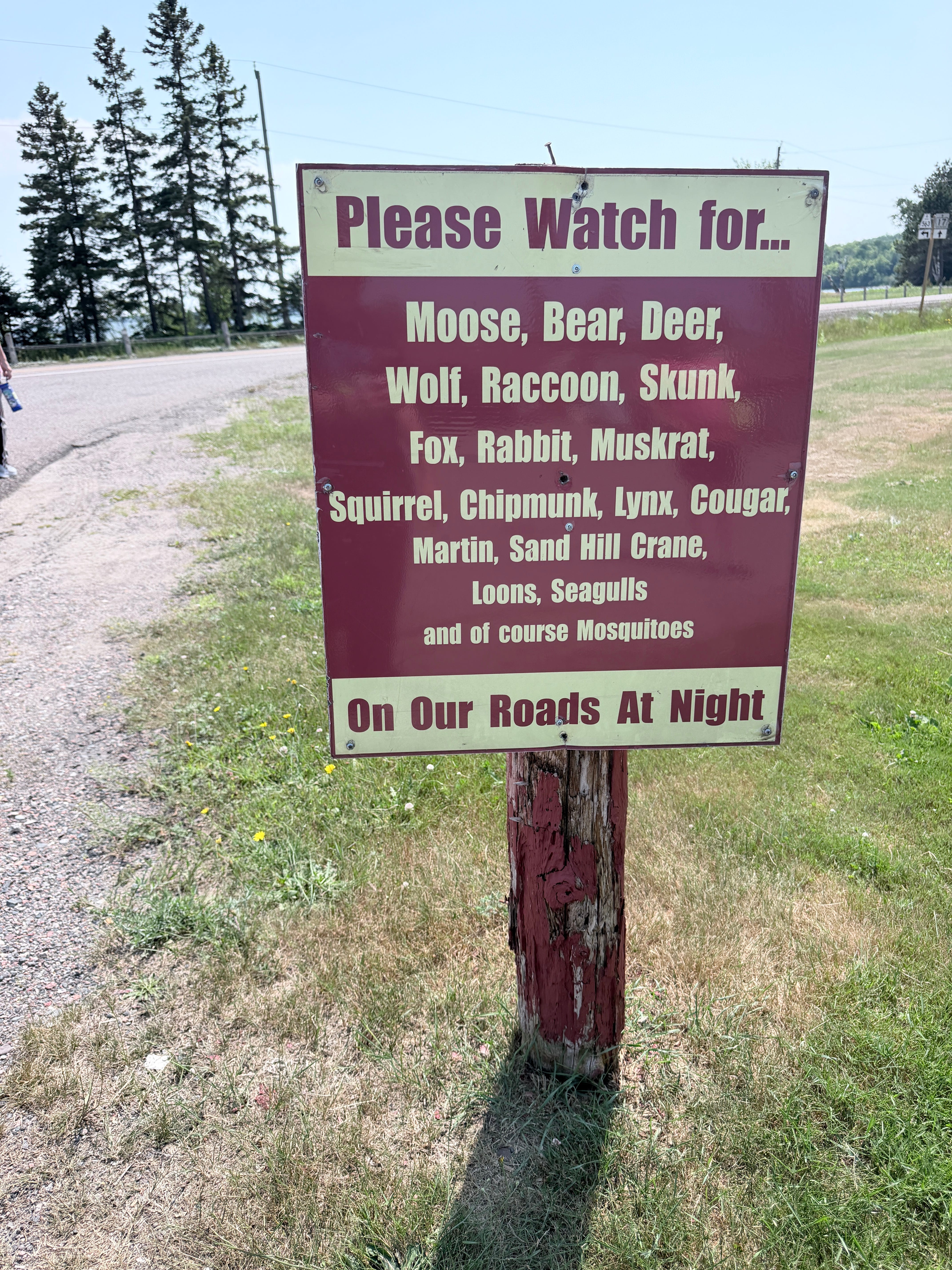
If you look at an aerial photo of Pancake Bay, you might be deceived by its three miles of sandy beaches and think you’re in the Caribbean. On closer inspection, though, the tree line behind the beach tells a different story. Dominated by sugar maples, yellow birch, balsam fir, and eastern white cedar, this northern Ontario boreal forest supports an abundance of wildlife from moose to mosquitoes, as this sign aptly warns.
During the 1700s and 1800s, French-Canadian voyageurs traveling toward Sault Ste. Marie welcomed the sight of this long, sandy shoreline, where they could beach their canoes and rest before finishing their journey. At what was likely their final stop before reprovisioning, they used their remaining flour and salt to fry up some delicious galettes, a kind of fried bread similar to a pancake. According to local tradition, those improvised meals gave Pancake Bay its name, although the bay’s remarkably flat, pancake-like appearance may also have played a part.
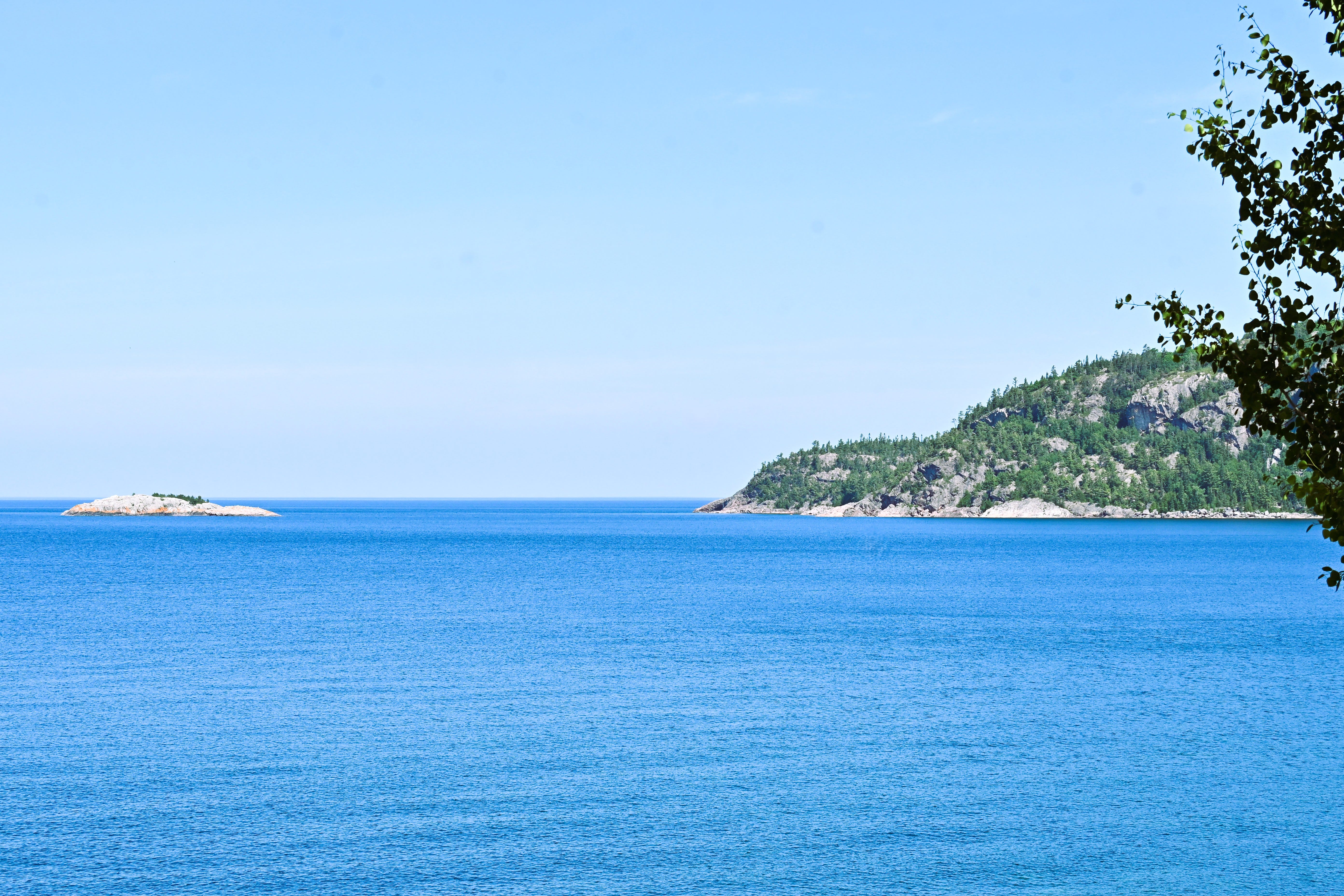
As we continued north, Lake Superior seemed to reveal a different character around every bend. At Alona Bay Scenic Lookout, we stopped before a panorama of turquoise water so clear that large, colorful rocks created a mosaic in the lakebed below. The lake’s exceptional cold and scarcity of nutrients limit the growth of algae and phytoplankton, producing remarkable clarity and visibility averaging twenty-seven feet under the surface.
Of the seven provincial parks we explored, Lake Superior Provincial Park was our favorite. With fifty-two miles of shoreline unfolding through beaches, cliffs, waterfalls, and forests, it deserves far more than a brief stop. If I’m able to return to the region, I’ll make a beeline for this park and give myself time to take it all in.
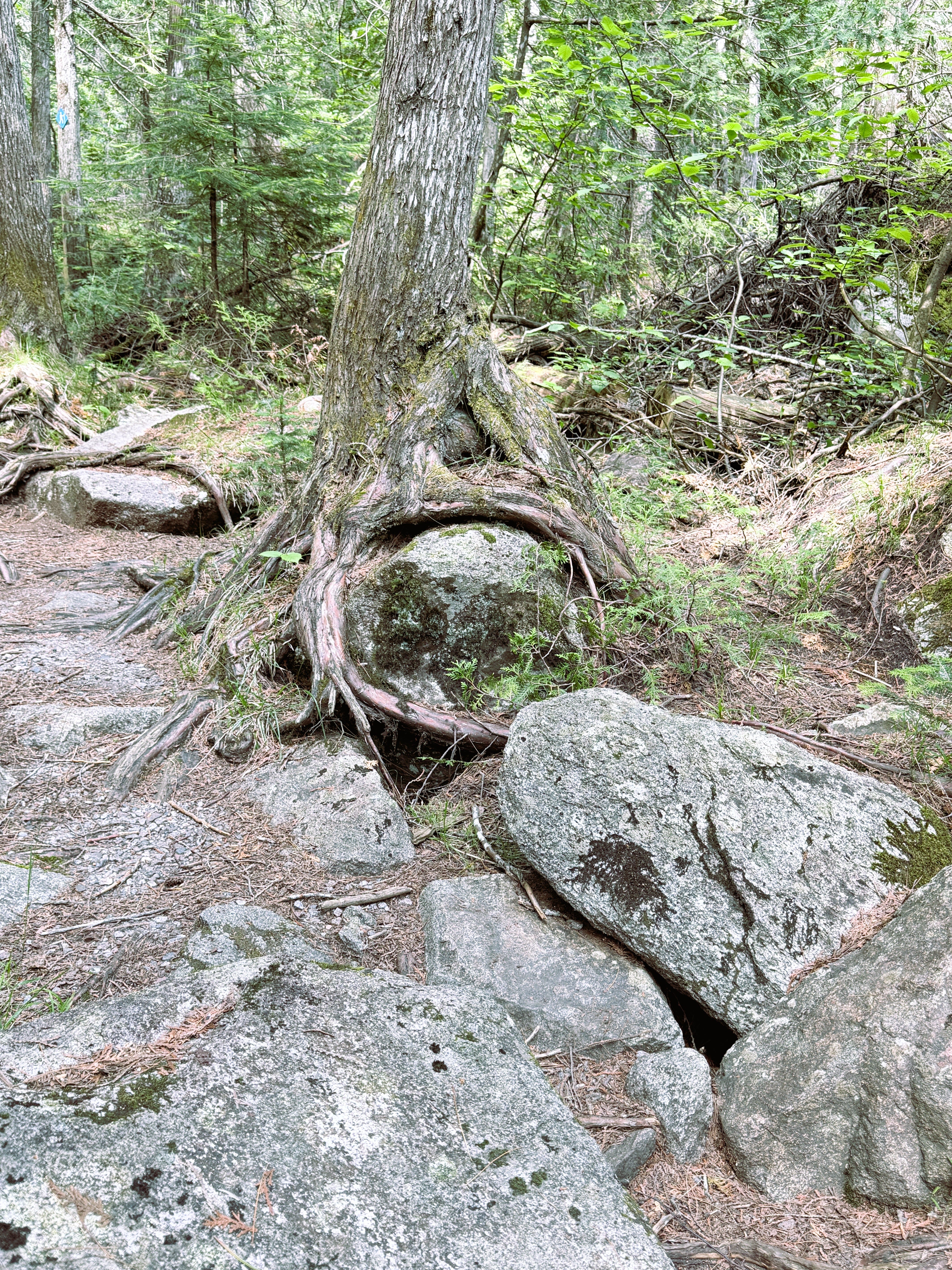
Along one of the trails we hiked, the Old Woman River Trail, I came across a tree gently cradling a large, polished rock that gleamed like a gazing ball. I’m continually amazed by the ways trees and rocks accommodate one another, each adapting to the other without losing their own identities. If only humans could learn to do the same.
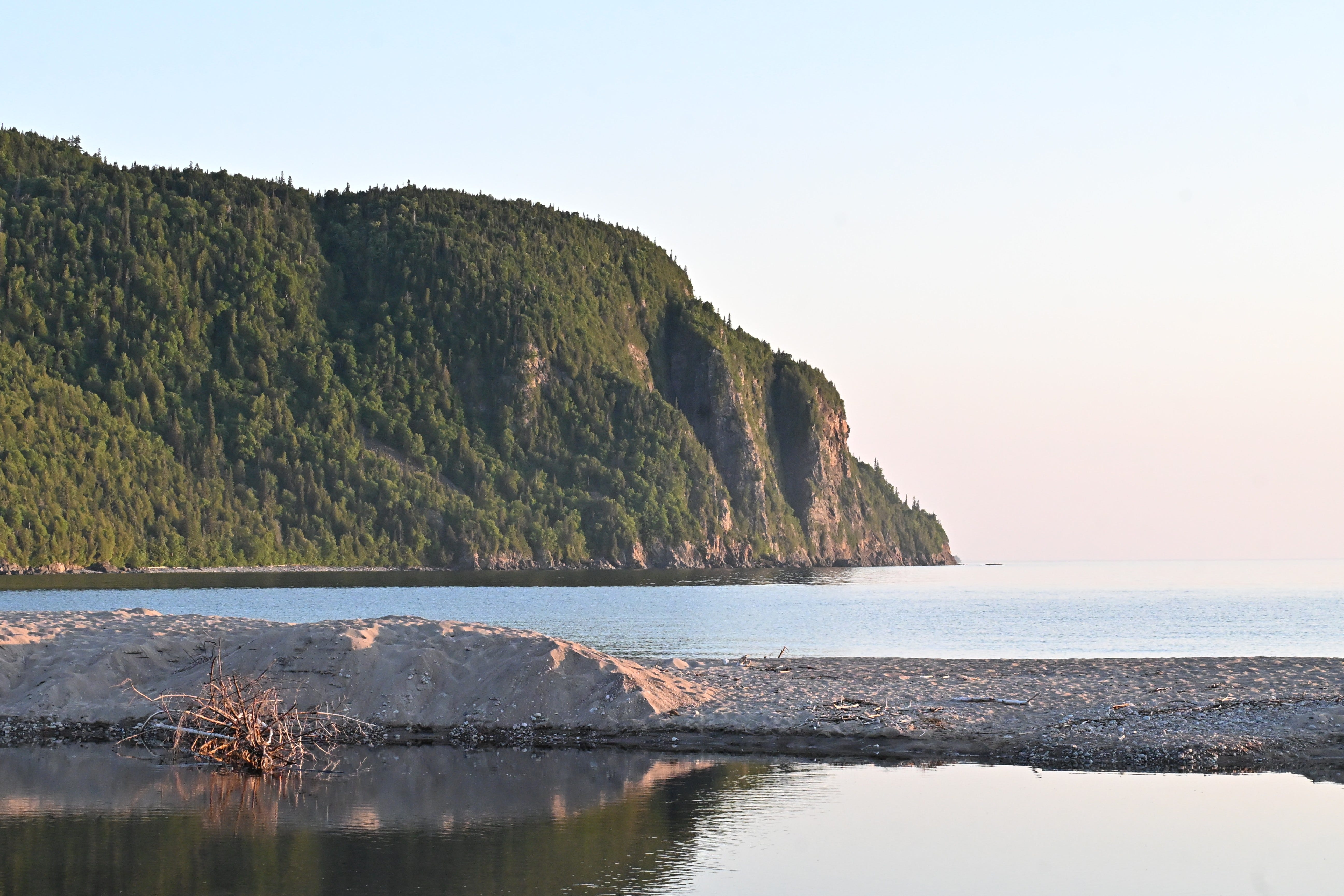
Old Woman Bay takes its name from a massive cliff said to resemble the profile of an elderly woman. I didn’t see myself reflected in the rock face, but I was drawn to its beauty nevertheless. The water remained eerily calm during our visit, yet it was easy for me to imagine Lake Superior’s waves pounding against the base of the massive cliff.
Throughout the route, signs introduced us to the Group of Seven, the Canadian landscape painters who traveled through this same Algoma country a century before us. Where we tried to capture the shoreline through photographs and words, they used vibrant color, simplified forms, and bold brushwork to interpret the rugged forests, rock, and water of the Canadian Shield.
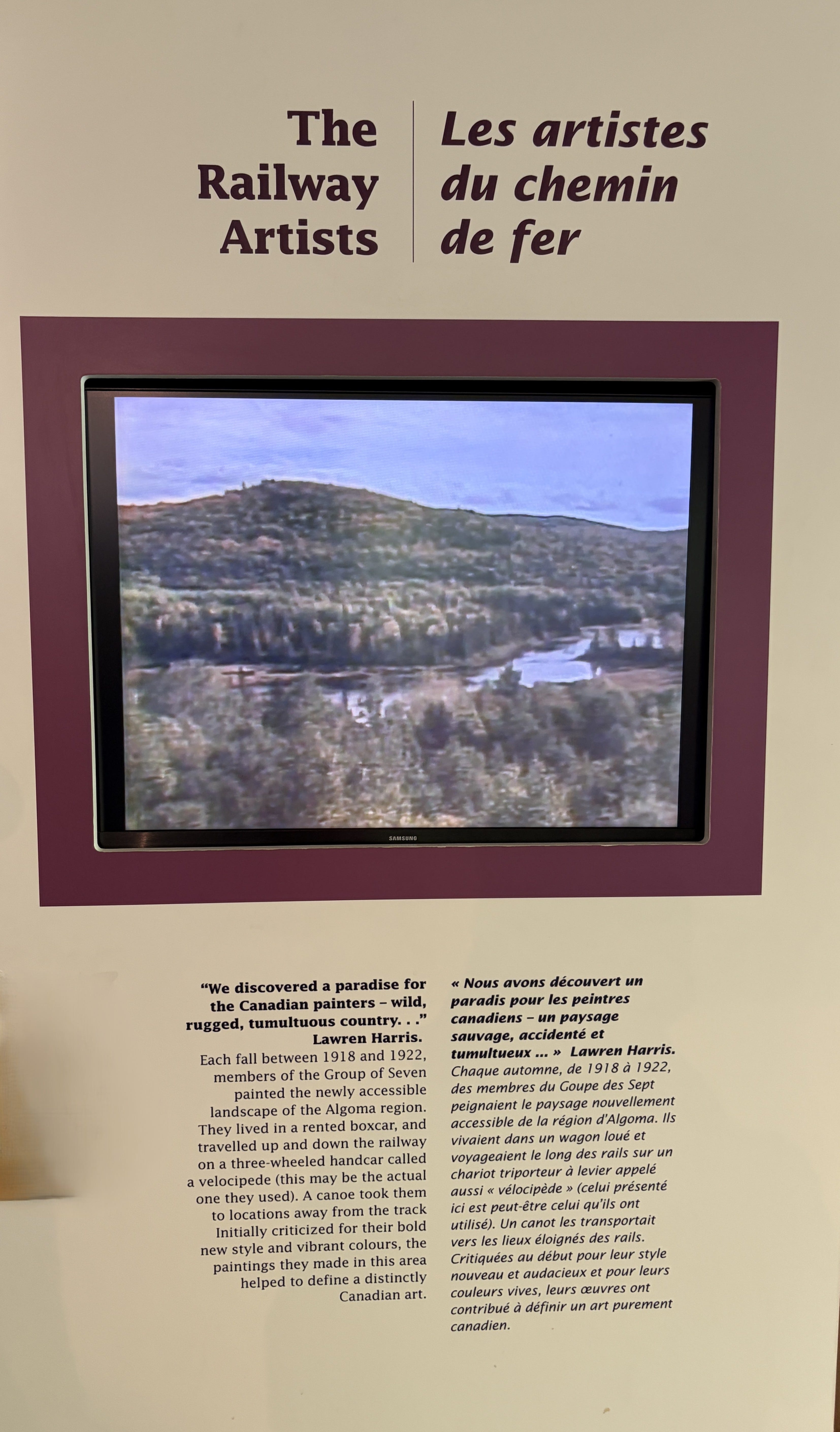
Learn more about the Group of Seven: https://thecanadianencyclopedia.ca/en/article/group-of-seven.
By evening, the grandeur of the landscape gave way to one of the route’s more playful landmarks. For our second night on the tour, we veered slightly away from Lake Superior to the town of Wawa, Ontario.
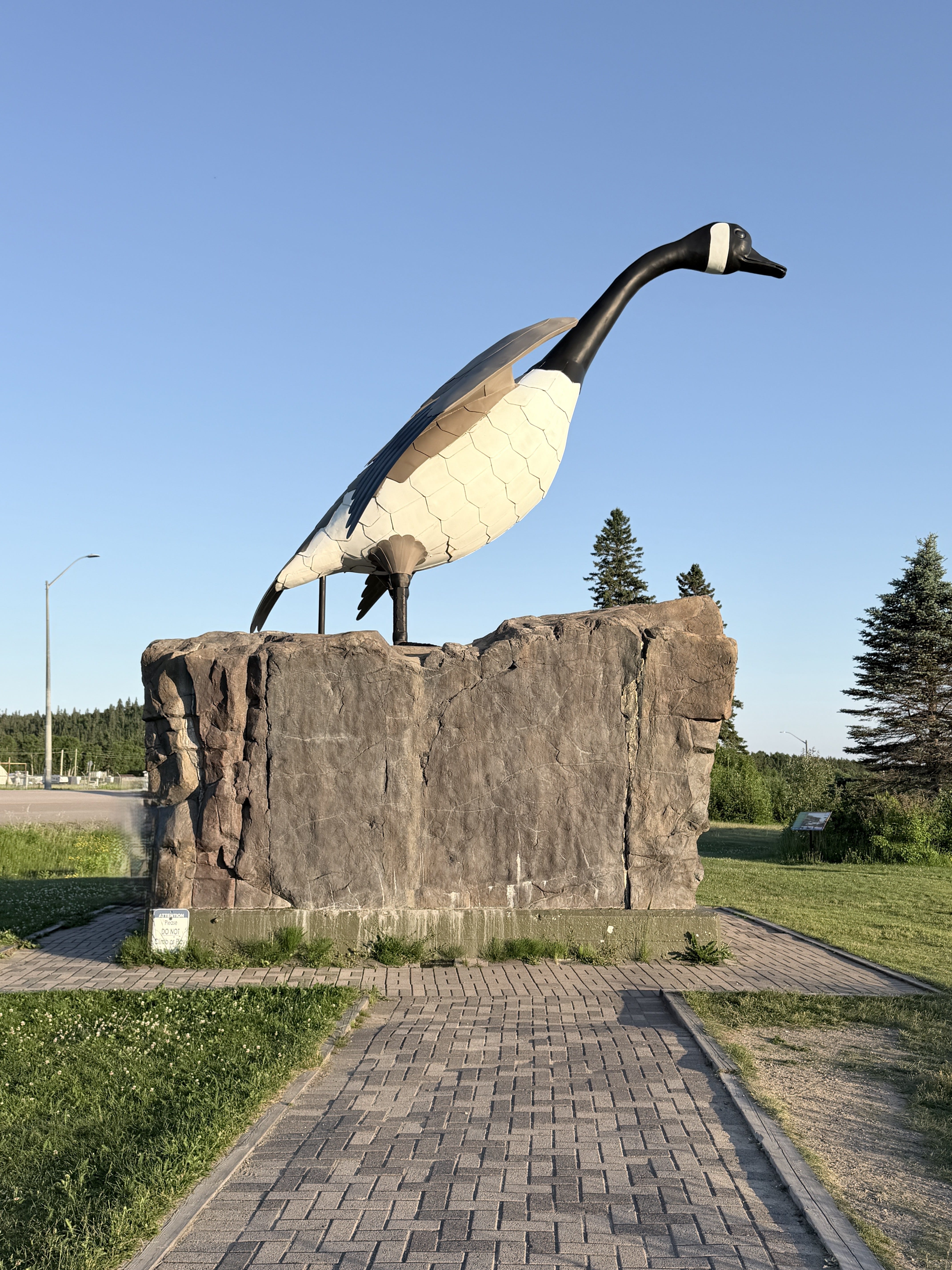
What do you do when a new route for the Trans-Canada Highway misses your small town by only a couple of miles? If you are Wawa, you build a giant goose to lure people in. And it worked! Unveiled in 1960, the Wawa Goose Monument, 28 feet tall, 22 feet long, with a wingspan of 20 feet, now in its third iteration, is one of the most photographed roadside monuments in North America.
Day 3: Winnie the Pooh, waterfalls, mosquitoes and black flies
We started our third day by hiking to majestic Magpie Falls just north of Wawa and ended it on the peaceful, rocky shores of Lake Superior at Rainbow Falls Campground.
Perhaps because Lake Superior continued to appear so still, we found ourselves drawn to the rivers and waterfalls that revealed the landscape’s more turbulent side. Middle Silver Falls, Magpie Falls, and the Aguasabon Falls and Gorge sent water tumbling, plunging, and surging through the ancient rock.


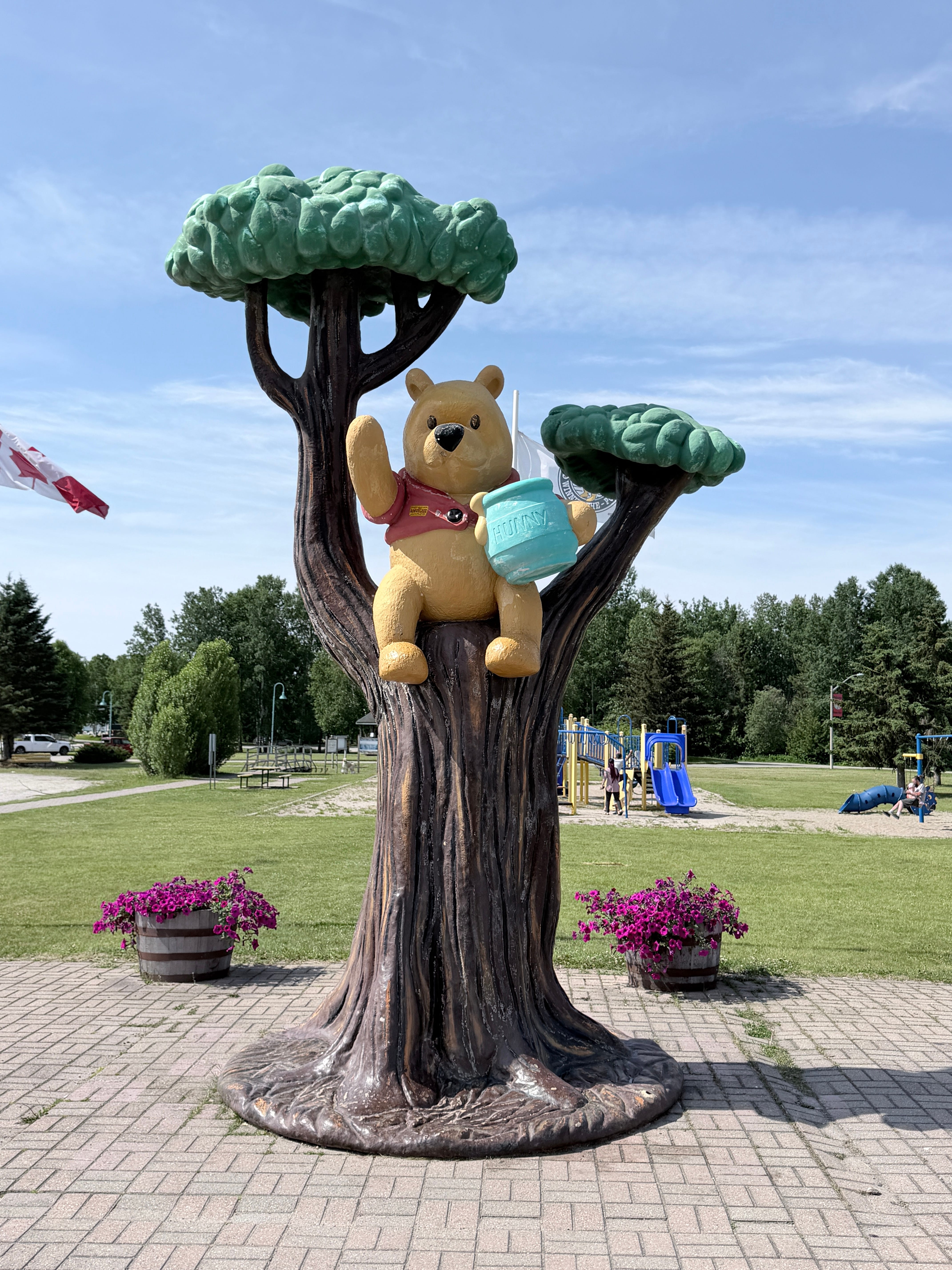
Between waterfalls, the road offered an unexpected detour into literary history. As we continued our way northwest, we had to stop in White River to pay homage to the real birthplace of one of my favorite literary characters, Winnie the Pooh.
A plaque there told us that in 1914, Lieutenant Harry Colebourn bought a black bear cub in White River and named her Winnie after his hometown of Winnipeg. After taking Winnie with him to England, Colebourn left her in the care of the London Zoo when his regiment was sent to France. There Winnie became a favorite of young Christopher Robin Milne, whose stuffed bear—and later A. A. Milne’s beloved stories—took her name.
Beauty, boulders, and bugs
Our campground lay only steps from Lake Superior’s northern shore, a setting we had anticipated as one of the highlights of the trip. Instead of a sandy beach like Pancake Bay, the water met a rugged sweep of massive boulders. Islands of every size dotted Schreiber Channel, and beyond them stretched an immense expanse of blue.
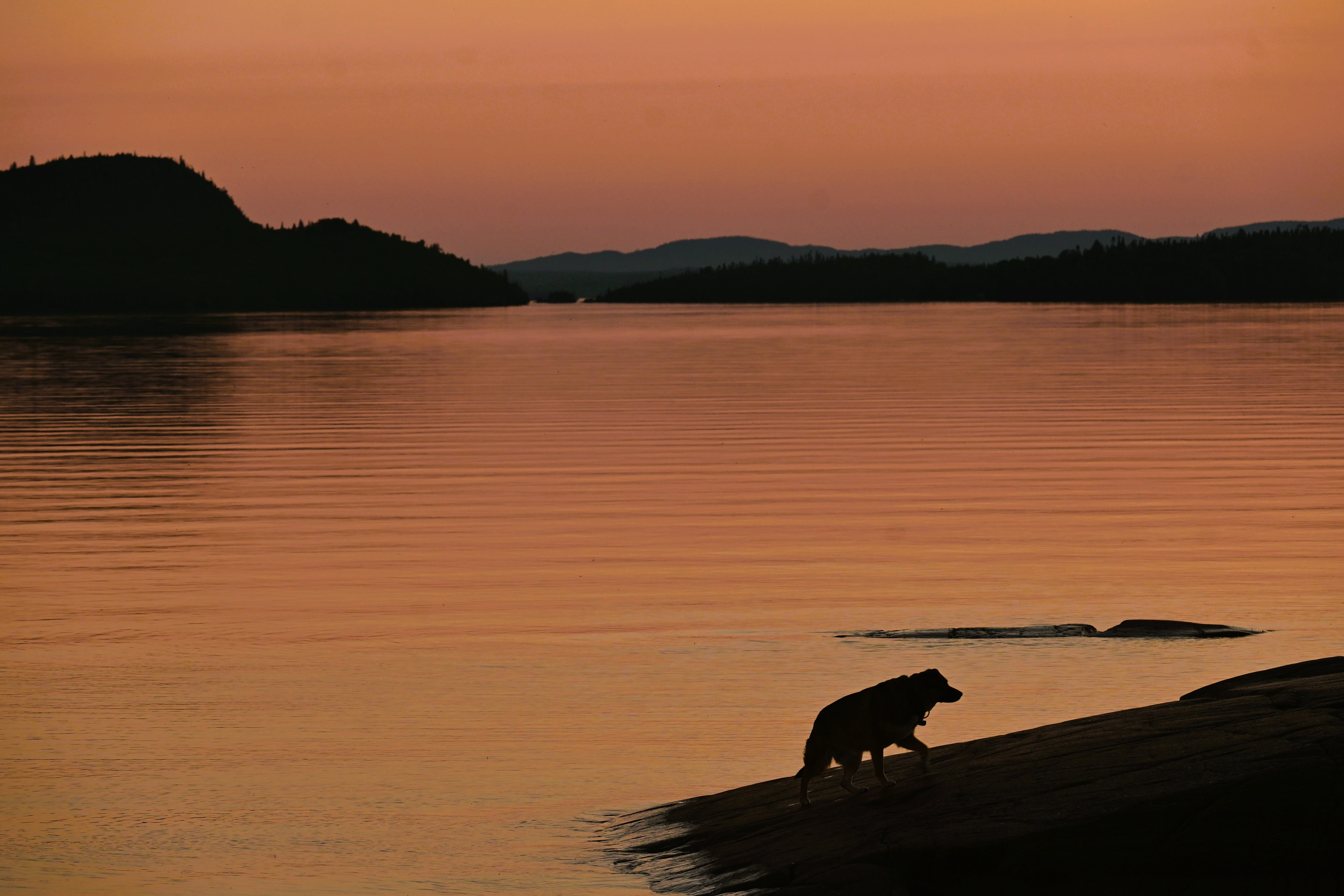
Sadly, black flies and mosquitoes shattered the peace of the shoreline, so, with nothing to prove about our rugged outdoor skills, one night of camping was all we could tolerate. Despite the bugs, we stayed long enough to enjoy both sunset and sunrise in that remarkable place—as did this photogenic dog, who posed as though it belonged there.
A preview of coming attractions
By the end of our third day, Lake Superior had already shown us sandy beaches, turquoise bays, sheer cliffs, thundering waterfalls, and a boulder-strewn shore. Yet the lake itself remained strangely calm, still holding back the wilder face I knew it possessed.
In Part 2, we’ll dig for amethyst, step into the past at an old fur-trading post, and witness the power of the “Niagara of the North.”
Yours in peace and beauty,
Annette

If you connect with this post, I’d love to hear from you. Every comment you leave and every time you share a post, you improve the visibility of this post for other Substack readers. So, for both reasons, your comments and shares are especially appreciated.
Annette’s Wanderings is a reader-supported publication. All my posts are free for everyone. But even though I don’t put up paywalls, a paid subscription goes a long way to helping to support my writing. Please consider becoming a monthly or yearly paid subscriber. If you’re one already, you have my undying gratitude! Thank you for all your support!
So generous of you to share highlights of this incredible journey with us, thank you. Although I grew up in the Great Lakes region (Lake Erie), I've never seen any of the other Great Lakes. Thanks to you, it's going on the bucket list!
what a great sharing of the adventures . . . i long to do that route myself. maybe next year? i really haven't explored the UP yet either--it was always a straight line drive with one night in a hotel from detroit to duluth as a kid . . .